
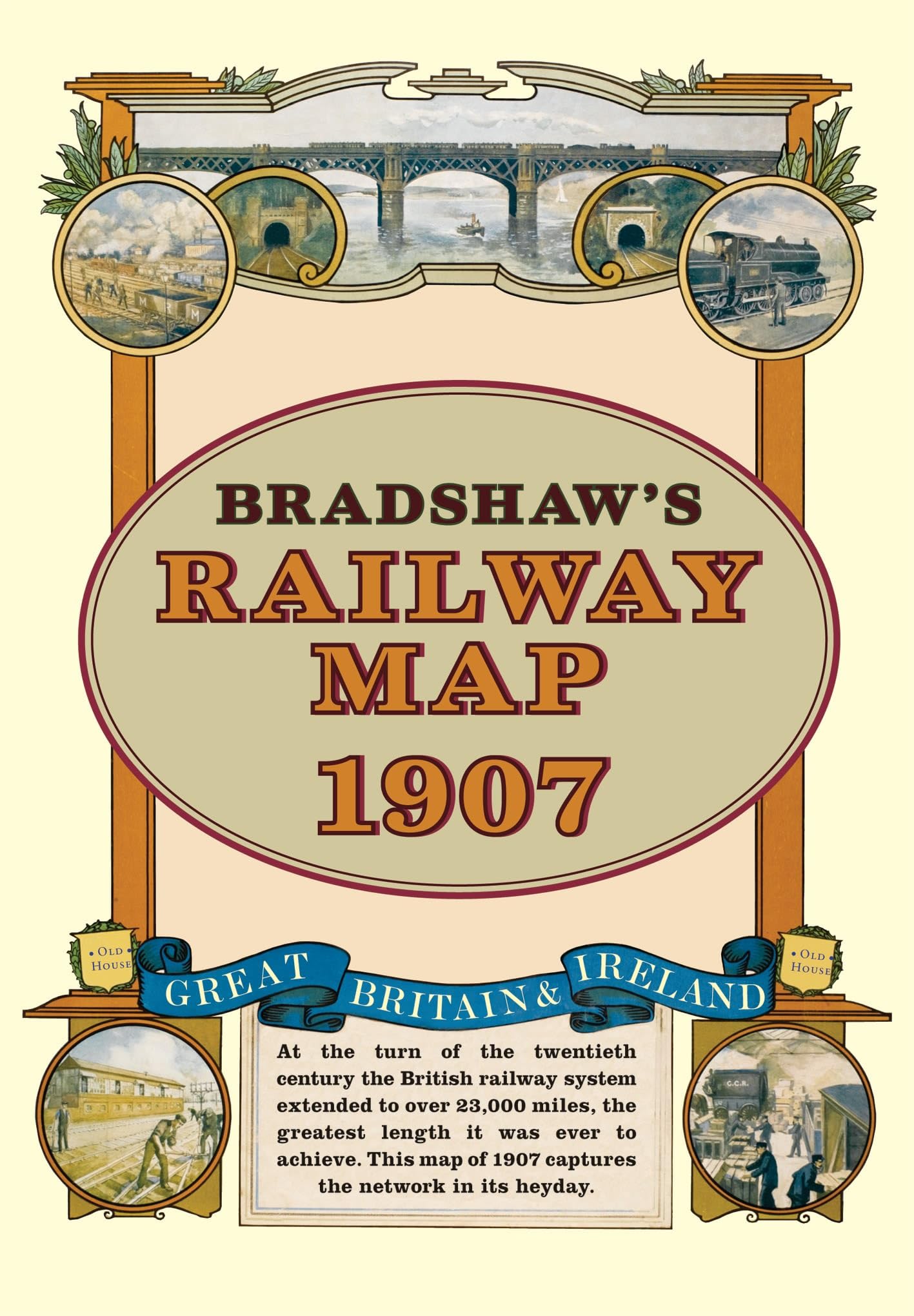
Bradshaw's Railway Folded Map 1907
Bloomsbury Publishing PLC
At the turn of the 20th century the rail network extended to over 23,000 miles, very nearly the circumference of the world the greatest length it was ever to achieve. Some urban routes had closed and later, hundreds of rural lines and stations succumbed to the Beeching axe. This map shows the network in its heyday before the decline commenced.\n\nBradshaw's Railway Folded Map 1907\n\nFree UK delivery on this item.\n\nThis brand new item is available with free UK delivery using Royal Mail tracked services.\n\nPlease note that the price advertised is as low as we can go, we do not accept offers.\n\nAt the turn of the 20th century the rail network extended to over 23,000 miles, very nearly the circumference of the world the greatest length it was ever to achieve. Some urban routes had closed and later, hundreds of rural lines and stations succumbed to the Beeching axe. This map shows the network in its heyday before the decline commenced.\n\nProduct Details\n\nISBN\n9781908402134\n\nFor;
Compare prices (9 shops)
| shop | Price | Action |
|---|---|---|

|
3,27 GBP | Go to shop |
|
|
3,43 GBP | Go to shop |
|
|
5,99 GBP | Go to shop |

|
9,55 GBP | Go to shop |

|
9,99 GBP | Go to shop |
|
|
11,13 GBP | Go to shop |
|
|
11,13 GBP | Go to shop |
|
|
11,59 GBP | Go to shop |
|
|
11,65 GBP | Go to shop |
Similar products
-
Bradshaw's Railway Folded Map 1907
From 9,19 EUR -

-

-
-

-
Bradshaw's Railway Map Central Europe 1913
From 12,55 EUR