

Liathach Summit Map -
HARVEY Maps
Enlarged map for hillwalkers of the summit ridge of Liathach at 1:12,500 scale. Size 300x410mm. Covers an area approximately 3x4km. This map of just the summit at a very large scale is intended to provide extra clarity and supplementary detail for a complex piece of terrain. Most commonly it would be used in conjunction with another map of a wider area which would provide information needed to reach the summit area. The big scale makes it very clear and readable. Useful for detailed navigation in this complex area, particularly in poor conditions. Has a 100m grid for use with GPS.•Tough. Light. Waterproof.•Extra clear for fine navigation in bad conditions such as mist, darkness or snow•Genuine original HARVEY mapping•Climbing crags named Technical Specification•Scale: 1:40,000•Ratio: 8cm = 1km•Flat size: 410 x 300mm•Folded size: 100 x 205mm•Weight: 10gms•Area of mapping: 12sqkm•Single sided
Compare prices (4 shops)
| shop | Price | Action |
|---|---|---|

|
8,50 GBP | Go to shop |
|
|
8,50 GBP | Go to shop |
|
|
8,50 GBP | Go to shop |

|
16,02 GBP | Go to shop |
Similar products
-
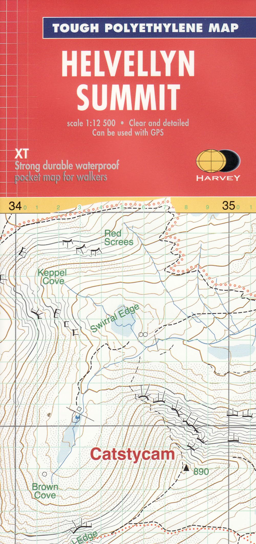
Helvellyn Summit (Summit Map)
From 8,50 EUR -
Summit Over
From 13,00 EUR -

Summit of Dreams
From 16,99 EUR -
Source and Summit
From 13,22 EUR -

SEA TO SUMMIT Guide Waterproof
From 16,36 EUR -
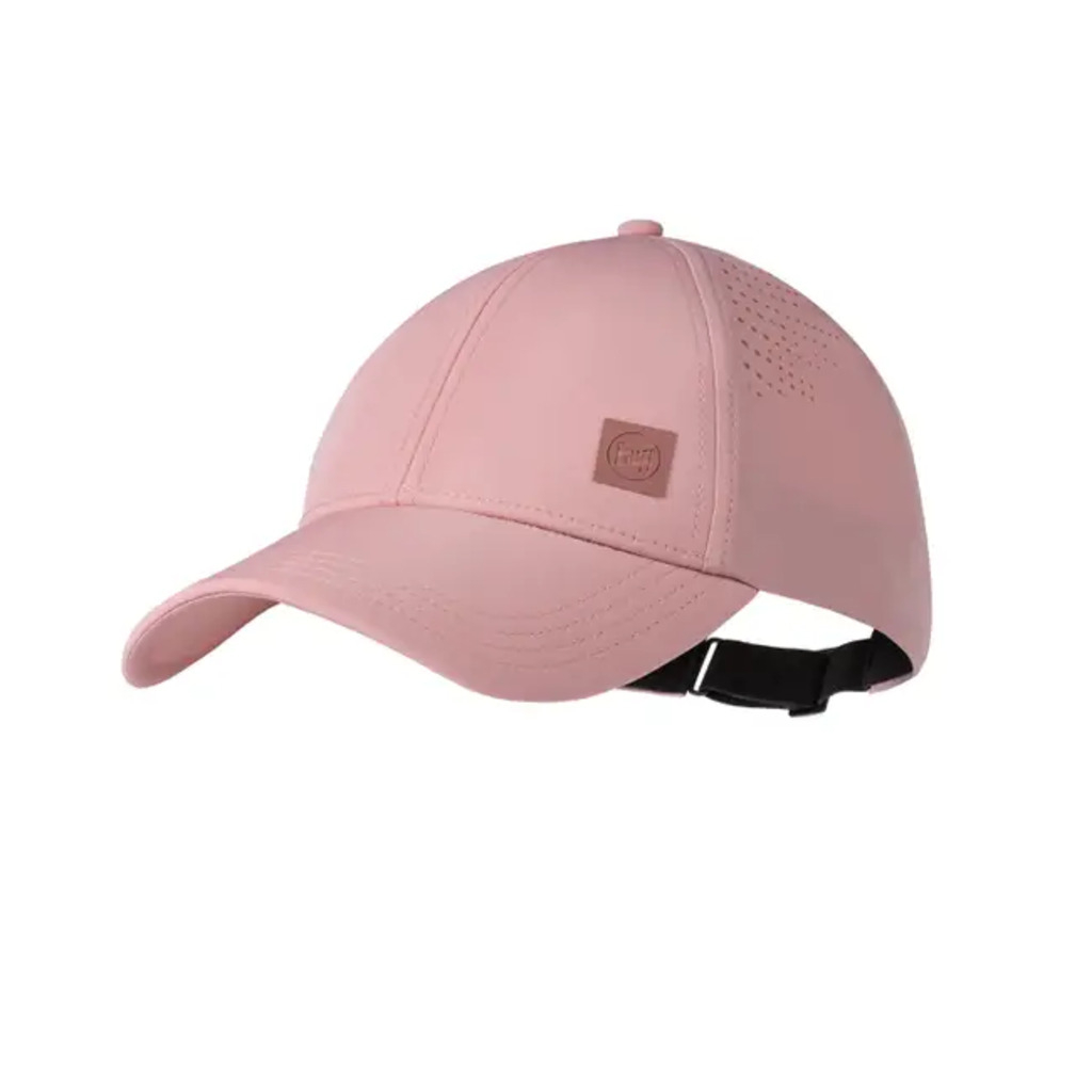
Buff Summit Cap
From 12,00 EUR