

Stockport, Altrincham & Ne Cheshire 1912 One Inch Sheet 98 by Chris E Makepeace
Alan Godfrey Maps
This busy Inch to the Mile map is an ideal accompaniment to the growing range of detailed, large scale maps we have published for the Stockport and Trafford areas. It shows them in context. Coverage stretches from Lymm eastward to Marple and Compstall, and from Chorlton cum Hardy southward to Prestbury. On the reverse is a detailed map of Adlington Hall and Hollingsworth Smithy, including Adlington station. Ringway, much changed since the growth of Manchester Airport, is in the centre of the Inch to the Mile map.\nIt is not possible to list the many hamlets, farmsteads and other topographical features shown on these maps. However, you may find it useful if we list the towns and principal villages or church parishes that are included on this map. \nCheshire: Adlington, Alderley Edge, Altrincham, Ashley, Ashton upon Mersey, Baguley, Bollington, Bowdon, Carrington, Cheadle, Cheadle Hulme, Compstall, Dunham Massey, Hale, Handforth, Hazelgrove cum Bramhall, High Legh, Knutsford, Lost.
Compare prices (3 shops)
| shop | Price | Action |
|---|---|---|

|
3,45 GBP | Go to shop |

|
3,50 GBP | Go to shop |
|
|
3,75 GBP | Go to shop |
Similar products
-
-

-
-
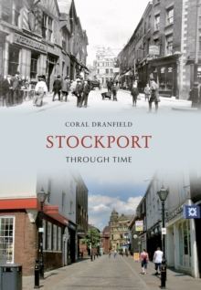
Stockport Through Time
From 12,39 EUR -

-

A-Z of Stockport : Places-People-History
From 12,39 EUR